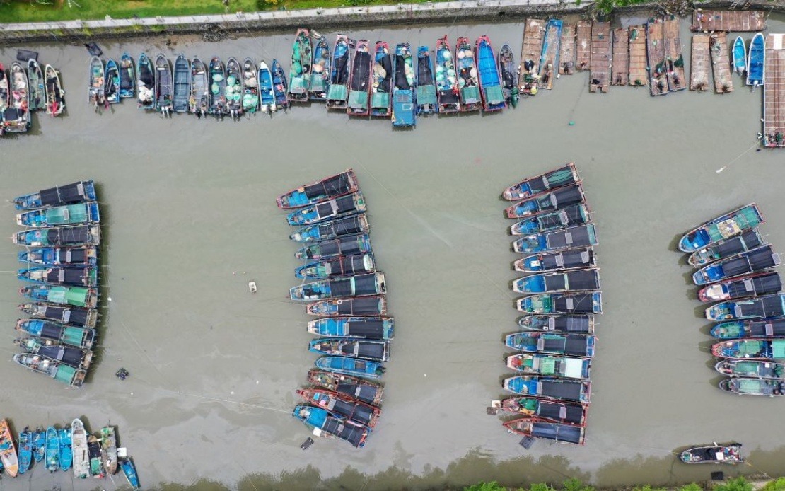
China's meteorological authorities have activated a red alert—the most critical warning in the nation's typhoon classification system—as Typhoon Noul approaches the southeastern coastline. The National Meteorological Centre issued the alert on Saturday as the powerful storm system moved steadily toward landfall in Guangdong Province, marking an escalation in emergency preparedness across southern China.
Typhoon Noul holds the distinction of being the 12th typhoon to develop during the current season, placing it within a typical range for the region during the summer months. As of late Saturday evening, the storm's centre was positioned approximately 100 kilometres offshore from Huidong County in Huizhou City, Guangdong Province, with sustained winds reaching Force 14 near the eye—a classification indicating extremely destructive conditions capable of causing widespread structural damage and significant meteorological impacts across affected areas.
The forecasting team at the National Meteorological Centre predicted that Typhoon Noul would maintain a northwestward trajectory at roughly 20 kilometres per hour while continuing to intensify before making landfall. Once the system crosses onto the mainland, meteorologists anticipate the storm will pivot toward a north-northwestward direction and gradually lose strength as it moves inland, away from the warm ocean waters that fuel typhoon development and intensity.
In response to the approaching threat, the State Flood Control and Drought Relief Headquarters elevated emergency protocols in Guangdong Province to Level III—indicating heightened preparedness and resource mobilisation to manage potential flooding and storm surge impacts. The same authority simultaneously activated Level IV flood emergency responses for the adjoining provinces of Jiangxi and Hunan, reflecting concern that weather impacts could extend beyond the initial landfall zone as moisture-laden air masses and weakened storm systems traverse inland regions.
Understanding China's warning framework provides context for assessing the severity of this event. The nation employs a four-tiered, colour-coded alert system specifically designed for typhoon situations, with red representing the most severe conditions requiring maximum public alert and governmental response. Below this sits the orange alert for severe situations, followed by yellow for moderate typhoon activity, and blue for lesser typhoon threats. By activating red-level status, authorities signal that conditions pose exceptional danger to life, property, and infrastructure across the affected region.
For Malaysian observers and Southeast Asian weather analysts, such alerts carry particular relevance given the region's shared meteorological patterns and the potential for tropical systems to influence conditions across the broader region. While Typhoon Noul's primary impact zone extends across southern China, the dynamics driving its formation and trajectory—including sea surface temperatures and atmospheric pressure systems—reflect conditions that can affect storm development patterns throughout the Western Pacific basin, where Malaysia and its neighbours face their own seasonal typhoon risks.
The timing of this warning reflects the peak intensity period of the Northwest Pacific typhoon season, which typically runs from May through November, with August and September representing months of highest frequency and intensity. During these months, warm ocean temperatures and atmospheric conditions align to produce multiple simultaneous weather systems across the region, challenging forecasters and emergency managers across multiple nations.
The activation of multi-level emergency responses across three provinces demonstrates the Chinese government's systematic approach to disaster management, where graduated alert levels trigger corresponding increases in resource deployment, evacuation planning, and protective measures. Level III alerts typically involve activating emergency response teams, pre-positioning rescue equipment, and issuing public advisories urging residents to secure property and prepare for potential evacuation. Level IV activations in Jiangxi and Hunan suggest authorities anticipate significant inland flooding potential as the weakened system moves through those regions following its initial coastal impact.
For regional observers monitoring typhoon activity and meteorological developments, this situation illustrates the interconnected nature of weather systems across Southeast Asia. While Guangdong faces the immediate threat, the broader implications extend to shipping lanes, agricultural operations, and infrastructure investments throughout the South China Sea and adjacent regions. Malaysian ports, fishing fleets, and maritime commerce maintain constant awareness of typhoon development in the Western Pacific, as storm tracks and intensity variations can necessitate routing changes and operational adjustments across transnational shipping networks.
The continued monitoring and updating of typhoon forecasts through the remainder of the weekend will provide crucial information for residents and authorities in affected areas. As Typhoon Noul progresses, the actual landfall location, timing, and post-landfall trajectory will determine the precise distribution of impacts across Guangdong and potentially inland provinces. The red alert status ensures maximum preparedness despite inherent forecast uncertainties, reflecting authorities' commitment to prioritising public safety over potential over-preparation concerns.

