The Malaysian Meteorological Department has activated weather alerts affecting multiple regions across the country as conditions deteriorate this afternoon. The warning, which remains in effect until 6 pm today, covers a significant geographic spread encompassing both Peninsular Malaysia and territories in Borneo, indicating a widespread atmospheric disturbance affecting the nation's weather patterns.
On the peninsula's west coast, Kedah faces the highest alert level with five specific districts in the firing line: Kota Setar, Yan, Pendang, Kuala Muda, and Sik are all expected to experience severe weather. The meteorological bulletin suggests these northern areas are particularly vulnerable, likely due to the seasonal monsoon influences and geographic positioning along moisture-bearing wind corridors. Residents in these zones should prepare for rapid deterioration in conditions during the afternoon peak.
Central Peninsular Malaysia is not spared from the warning either. Perak's two vulnerable zones—Manjung and Perak Tengah—face potential disruption from the system, while Terengganu's Kemaman district sits directly in the path of expected weather activity. The concentration of alerts in this central corridor suggests the weather system is tracking through this densely populated region, creating conditions where both urban and rural areas will experience the storm's effects simultaneously.
On the east coast, Pahang's Kuantan district has been flagged as at-risk, joining the broader pattern of vulnerability affecting multiple states. This geographic distribution indicates the weather system possesses considerable lateral extent, potentially affecting transportation networks and commercial activity across several states simultaneously. Selangor's Hulu Langat district, which encompasses both densely populated suburban areas and forested uplands, rounds out the peninsula's warning list.
Negeri Sembilan's inclusion in the alert, specifically affecting Jelebu and Seremban, extends the warning zone into the peninsula's central-eastern sector. These areas, which serve as important transportation hubs connecting multiple regions, could face disruptions to road networks and daily commerce if the forecast conditions materialize with expected intensity. The state's geographic position between major population centers makes the timing particularly significant for commuters and businesses.
The warning extends significantly into East Malaysia, where Sarawak faces threats in two separate regions. Sarikei's adjacent Sibu area and the Mukah district encompassing Tanjung Manis and Daro represent distinct geographic zones that may experience localized but intense weather activity. These coastal and near-coastal regions are frequently affected by such systems, though the precise timing and intensity can vary considerably.
Sabah's alert coverage demonstrates how the weather system impacts multiple divisions across the state. The Interior Division's Keningau and Tambunan districts, which are mountainous and more sparsely populated, represent different meteorological conditions than the coastal zones. The West Coast Division's Papar and Penampang, serving the greater Kota Kinabalu metropolitan area, contain critical infrastructure and population centers where disruptions carry significant consequences. Sandakan's Kinabatangan district on the east coast adds another dimension to the territorial extent of the warning.
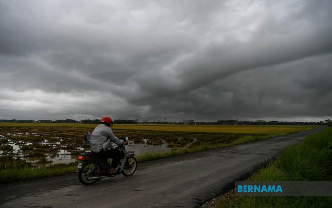
The combination of thunderstorms, heavy rain, and strong winds creates a compound hazard scenario that can produce flooding, landslides, and dangerous wind conditions simultaneously. For Malaysian readers accustomed to tropical weather patterns, this type of alert typically requires heightened caution regarding outdoor activities, travel plans, and securing loose outdoor items. The specific afternoon timing until 6 pm suggests the system may intensify during the typical afternoon heating phase, a common feature of tropical convective weather.
For business and transportation sectors, the geographic breadth of this warning creates logistical challenges. The affected areas include major transportation corridors, particularly the peninsula's central routes and connections to Sabah and Sarawak. Commercial operations, construction activities, and outdoor events scheduled for this afternoon may require postponement or cancellation to ensure worker safety. The timing also affects evening rush-hour traffic, potentially creating hazardous commuting conditions across multiple states.
MetMalaysia's decision to specify affected districts within each state enables residents and authorities to apply appropriate preparedness measures with precision. Rather than warning entire states broadly, this granular approach allows for targeted public advisories and emergency response positioning. Local authorities in flagged districts can activate contingency protocols, position rescue personnel, and monitor vulnerable areas such as flood-prone zones and hillsides susceptible to landslides.