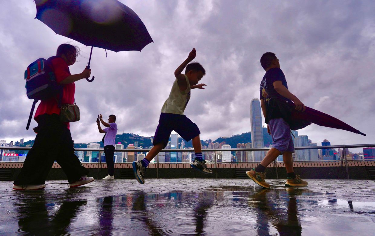
Hong Kong residents finally experienced relief from an oppressive heatwave on Friday, August 14, when widespread rain swept across the territory and dramatically reduced temperatures that had made the city nearly uninhabitable for much of the preceding week. The Hong Kong Observatory issued an amber rainstorm warning at 8:40 am, the lowest tier in its four-level alert system, acknowledging the arrival of showers and thunderstorms that would persist through the afternoon. The alert was lifted three hours later, though meteorologists cautioned that additional downpours would continue intermittently throughout the day as atmospheric conditions stabilized.
The rainfall represented a climactic conclusion to one of the most brutal sustained heat events in the city's modern meteorological history. For an entire week prior to Friday's storms, Hong Kong residents endured relentless temperatures that repeatedly exceeded 34 degrees Celsius across multiple districts, with no meaningful precipitation to provide cooling relief. The combination of intense solar radiation, high humidity, and stagnant air created dangerous conditions that stretched public services and threatened vulnerable populations including elderly residents and outdoor workers. Schools and workplaces implemented emergency protocols, while hospitals reported increased admissions for heat-related illnesses during this period.
The meteorological severity of the situation became apparent when Hong Kong Observatory data confirmed that maximum temperatures reached 33 degrees Celsius or higher for nine consecutive days—an unprecedented duration for such extreme heat during the month of August. This streak shattered the previous record for the longest unbroken period of intense August temperatures, underscoring how the heatwave exceeded typical seasonal variations and represented a genuine anomaly in the city's climatic patterns. Meteorologists attributed the phenomenon to a combination of upper-atmospheric disturbances and a persistent southwesterly airstream that prevented cooler air masses from reaching the territory.
On the preceding Sunday, August 11, temperatures had peaked at 36.9 degrees Celsius at the observatory's main measurement station in the central business district. This figure holds profound significance for Hong Kong's climate history: it represents the highest temperature recorded since the Observatory began maintaining systematic temperature records in 1884. The achievement of this maximum broke a previous record that had stood for several decades, demonstrating that even Hong Kong's established temperature ceiling has been surpassed as global and regional climate patterns shift. The implication extends beyond mere statistics; it suggests that infrastructure, public health systems, and urban planning designed around historical temperature parameters may require recalibration.
The arrival of rain on Friday morning was driven by measurable atmospheric dynamics rather than chance weather fluctuation. Upper-level disturbances aloft, combined with a strengthening southwesterly airstream at lower atmospheric levels, created conditions favorable for organized convection and rainfall development. This meteorological setup represented a genuine departure from the stagnant, high-pressure system that had dominated the previous week, finally allowing moisture-laden air to rise, cool, and condense into precipitation. The rapidity with which the alert was issued and subsequently canceled reflected the relatively brief but intense nature of the rainfall event—sufficient to provide immediate temperature reduction but not prolonged enough to constitute a sustained weather system change.
Looking ahead, the Hong Kong Observatory anticipated that Saturday morning would bring additional thunderstorm activity, particularly in the early hours before conditions became clearer during afternoon hours with scattered sunny intervals. This pattern suggested a transitional period during which the atmospheric configuration would gradually shift away from the heatwave setup but remain somewhat unstable. Residents and authorities were advised to remain cautious during the thunderstorm windows, as summer electrical storms in Hong Kong can occasionally produce localized heavy rainfall and gusty winds despite overall conditions being drier than Friday's system.
However, meteorologists issued a cautionary note regarding the outlook beyond the weekend. Early next week's forecast called for a return of very hot weather reminiscent of the preceding week, though with intermittent showers preventing temperatures from reaching the extreme peaks observed on August 11. This cyclical pattern—brief relief followed by renewed heat stress—is characteristic of late summer in Hong Kong, as the region transitions between dominant weather systems. The possibility of repeated heat surges through August and into early September underscores that the heatwave episode, while temporarily interrupted, may not represent the conclusion of the summer's temperature challenges.
The implications of Hong Kong's record-breaking heat extend beyond meteorological curiosity to encompass significant public health, economic, and infrastructure concerns. Sustained temperatures above 36 degrees Celsius impose severe stress on electrical grids as air conditioning demand peaks, create risks of blackouts, and inflate energy costs for households and businesses already facing inflationary pressures. For a densely populated city like Hong Kong with substantial vulnerable populations including elderly residents living in poorly ventilated subdivided apartments, such extreme heat poses genuine mortality risks. The heat episode also affects labor productivity, with outdoor construction and port operations necessarily curtailed during the most dangerous afternoon hours.
From a broader Southeast Asian perspective, Hong Kong's heatwave carries troubling implications for the region's climate trajectory. As a developed city-state with world-class infrastructure and resources, Hong Kong's capacity to cope with temperature extremes exceeds that of many neighboring territories and developing nations across Southeast Asia. If Hong Kong—with its efficient building codes, advanced air conditioning systems, and well-funded public health apparatus—experiences such severe heat stress that record temperatures are broken and citywide alerts are issued, the vulnerability of less-developed areas with more limited adaptive capacity becomes apparent. The heatwave serves as a cautionary indicator of thermal conditions that could become normalized across tropical and subtropical Asia in coming decades.
The weather pattern also highlights the unpredictability characteristic of climate variability in the modern era. While meteorologists can issue alerts based on upper-atmosphere disturbances and airstream positioning, the increasingly frequent occurrence of record temperatures suggests that the distribution of extremes is shifting. Historical temperature maxima, once considered statistical outliers occurring perhaps once per century, now arrive with concerning regularity. For Hong Kong and the broader region, this trajectory demands sustained investment in climate adaptation infrastructure, urban planning that prioritizes heat mitigation through increased green space and reflective surfaces, and public health systems prepared for sustained thermal stress events.

