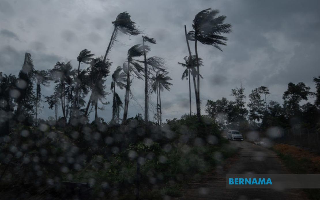
The Malaysian Meteorological Department has issued an urgent weather alert across a broad swathe of the country, cautioning residents and authorities to brace for dangerous atmospheric conditions. The warning encompasses thunderstorms, heavy rainfall and powerful winds expected to persist across multiple states in Peninsular Malaysia, Sabah and Sarawak through 6 pm on 26 July. The alert represents a significant weather event that could disrupt daily activities, transport networks and outdoor operations across the nation.
In the northern and east-coast regions of Peninsular Malaysia, the warning blankets several key population centres and districts. The island of Langkawi in Kedah faces the threat of severe convective activity, whilst six districts across Perak—including the populous Kinta valley—have been placed under alert. Kelantan experiences an even more extensive coverage, with nine districts from the inland highlands around Kuala Krai to the coastal settlements of Bachok and Pasir Puteh all flagged for hazardous conditions. This concentration of warnings along Malaysia's east coast reflects the typical pattern of monsoon-influenced weather systems that regularly impact the region during this season.
The central region also falls within the meteorological authority's assessment zone. Terengganu's four districts face heightened weather risk, whilst Pahang—Malaysia's largest peninsula state—sees warnings applied to nine separate administrative areas spanning from the highland terrain around Cameron Highlands through to the low-lying coastal plains of Pekan and Rompin. In Selangor, the Klang Valley's satellite areas including Hulu Selangor and Gombak have been included, indicating that even the vicinity of Malaysia's economic heartland may experience disruptions. Negeri Sembilan's Jempol and Tampin districts round out the central peninsula coverage, whilst southern Johor sees five districts—stretching from Tangkak inland to the coastal region of Kota Tinggi—similarly affected.
For East Malaysian residents, the warning extends to significant portions of Sabah and Sarawak, underscoring the geographic scope of the weather system. In Sabah, eight districts across multiple regions receive the alert: the interior districts of Sipitang, Tenom, Beaufort, Keningau and Tambunan, combined with the heavily populated west coast zone encompassing Papar, Putatan, Penampang, Kota Kinabalu and Tuaran. The divisions of Lahad Datu and Kinabatangan extend the coverage to Sabah's eastern territories. In Sarawak, the warning reaches Tatau and Sebauh in the Bintulu division, Subis in Miri division, and Limbang in the far north.
Such widespread alerts typically trigger contingency measures across government agencies and essential services. The concurrent threat of thunderstorms, heavy precipitation and strong winds poses compound risks: electrical hazards during electrical storm activity, flash flooding in low-lying areas given intense rainfall, and potential structural damage or hazards from wind gusts. Transport authorities may experience disruptions to road networks through flooding, whilst aviation and maritime operators often implement enhanced monitoring protocols during such warnings.
The timing of the alert—specifically limited to the afternoon and early evening hours—suggests the meteorological department has confidence in predicting the duration of the severe weather system. Such bounded forecasts reflect improved modelling capabilities that allow forecasters to indicate not merely whether dangerous conditions will occur, but with reasonable precision when they are expected to taper. This precision enables residents and authorities to implement targeted protective measures rather than maintaining heightened alert status for extended indefinite periods.
For Malaysian businesses and infrastructure operators, particularly those in construction, logistics, utilities and outdoor services, the alert necessitates rapid operational adjustments. Work sites may require temporary shutdowns, safety protocols intensify, and equipment may need securing or repositioning to minimize weather damage. Public transportation operators monitor conditions closely, prepared to implement service modifications if conditions deteriorate beyond operational thresholds. Hospitals and emergency services typically elevate readiness levels during severe weather warnings, anticipating potential weather-related casualties or incidents.
Citizens across the affected regions are advised to exercise caution and remain indoors where practical during the alert period. The combination of heavy rain and strong winds can rapidly create hazardous conditions for outdoor activities, vehicle operation on flooded routes, or proximity to structures or trees that could suffer wind damage. Securing outdoor items, avoiding flooded areas, and staying informed through official meteorological updates represent standard precautions during such events.
The Malaysian Meteorological Department's capacity to issue such regionally comprehensive warnings reflects the nation's investment in weather monitoring infrastructure and forecasting expertise. Modern weather radar networks, satellite imagery interpretation, and atmospheric modelling allow the department to identify developing systems and communicate risks to the public with increasing accuracy. This warning system represents a critical public safety mechanism, enabling communities to prepare appropriately for weather threats that could otherwise catch residents unprepared.

