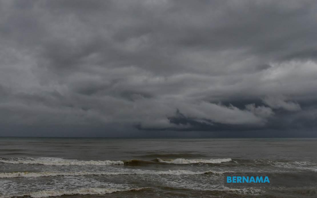
The Malaysian Meteorological Department has issued an urgent weather alert covering a broad swathe of the country, warning residents and commuters of hazardous conditions expected to persist through this evening. MetMalaysia cautioned that thunderstorms, heavy downpours, and gusty winds will affect numerous districts from Perlis in the far north down through the peninsular states, with additional warnings for Sabah, Sarawak, and the federal territory of Labuan. The alert remains in effect until 9 pm on July 16, giving authorities and the public a defined window to prepare for potentially disruptive weather.
In Peninsular Malaysia, the northern states face particularly widespread exposure. Kedah's exposure extends across multiple divisions, encompassing the island of Langkawi as well as mainland districts including Kubang Pasu, Padang Terap, Sik, Baling, Kulim and Bandar Baharu. Perlis, which neighbours Kedah to the north, is similarly placed under warning. Such blanket alerts across these regions suggest a significant weather system is developing, rather than isolated thunderstorm activity. The central region is equally threatened, with Perak's Kerian, Larut, Matang and Selama, Hilir Perak, Batang Padang and Muallim districts all flagged for potential impact.
The Klang Valley and Greater Kuala Lumpur area faces disruption as well, with the federal capital itself included in the warning alongside several Selangor districts. The affected Selangor areas span both coastal and hinterland zones: Sabak Bernam and Kuala Selangor lie along the western coast, while Hulu Selangor and Gombak represent interior and elevated regions. This geographic diversity suggests the weather system will affect both low-lying urban centres and highland areas. The southern state of Johor is not exempt, with Kulai and Johor Bahru—the state's major commercial and population centre—both at risk of severe conditions.
East Malaysia faces its own weather challenges under the alert. In Sabah, the Interior Division, encompassing vast stretches of the state's interior, is threatened. The West Coast region, including the key municipalities of Papar, Putatan, Penampang, Kota Kinabalu, Tuaran and Ranau, is similarly warned. Kota Kinabalu's inclusion is significant, as disruptions there could affect the capital city and regional commerce. Sandakan Division on the east coast is not spared, with its component districts of Tongod, Telupid and Beluran placed under alert. In neighbouring Sarawak, the warning extends to Kapit Division with its constituent areas of Kapit, Bukit Mabong and Belaga, as well as the northern divisions of Miri and Limbang, which border Brunei.
The scope of this warning underscores the scale of the meteorological event. Rather than targeting isolated pockets, MetMalaysia's alert covers virtually every major population centre and transportation hub across the country. This suggests a significant low-pressure system or monsoon-related disturbance affecting the broader Southeast Asian region. For Malaysian readers, such widespread warnings typically precede substantial rainfall and potential surface water flooding in urban areas, disruption to air and road transport, and possible landslides in hilly terrain.
Communters and travellers should anticipate delays on major routes, particularly in the Klang Valley and between Kuala Lumpur and Selangor. Flash flooding can occur rapidly in urban drainage systems and along minor roads during heavy downpours. Residents in flood-prone areas, particularly those in low-lying suburbs and near river systems, should remain vigilant and consider moving valuables to higher levels. Motorists are advised to avoid wading through flooded roads, as the depth and current of floodwaters can be deceptive and dangerous.
For the Sabah and Sarawak regions, the alert carries particular implications given the terrain and infrastructure challenges in East Malaysia. Heavy rain in the Interior Division and highland areas can rapidly swell rivers and streams, affecting settlements and rural communities. Coastal areas in the West Coast and Sandakan divisions may experience localized flooding in lower-lying zones. Miri and Limbang's exposure is relevant for residents and businesses, particularly those relying on weather-dependent transport links.
The timing of the alert—with impact extending to 9 pm—means evening rush hour traffic will coincide with peak weather intensity. Commuters using public transport should allow additional travel time, as services may experience delays or diversions. Those planning evening activities should reschedule non-essential outings. The alert also carries implications for outdoor events and activities scheduled for the remainder of the day; organisers may wish to consider postponement or relocation to covered venues.
MetMalaysia's alerts are grounded in real-time monitoring and modelling, and residents are advised to heed the guidance. Checking weather updates from the department's official channels throughout the afternoon remains prudent, as the situation may evolve or the alert period may extend. In Malaysia's equatorial and tropical monsoon climate, such weather events are seasonal and predictable, yet their intensity and precise local impact can vary. Preparedness and awareness remain the most effective defences against weather-related disruptions and hazards.

