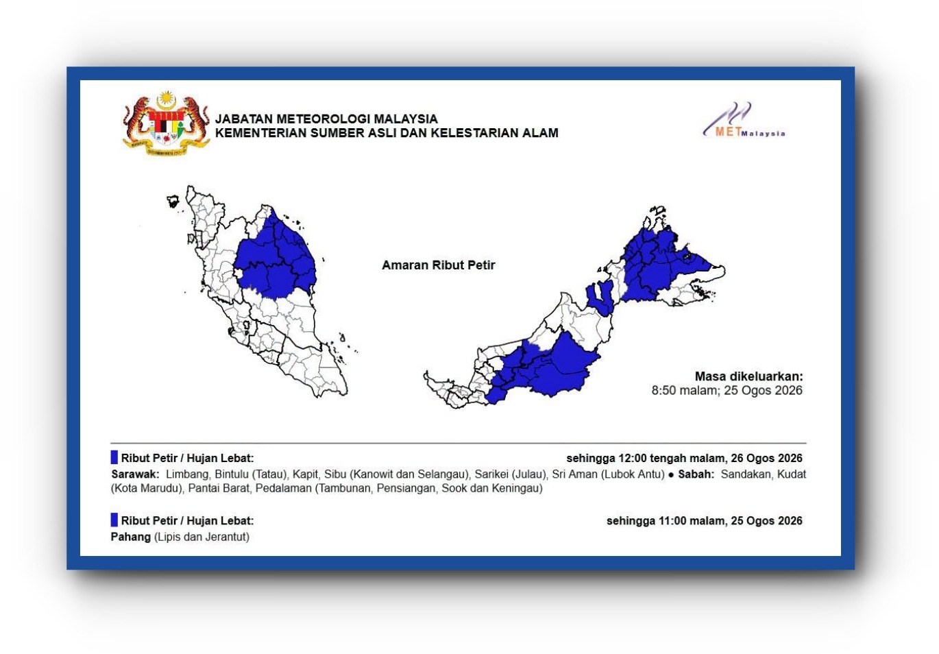
The Malaysian Meteorological Department issued a tropical storm advisory on August 25 regarding a weather system traversing the northwestern Pacific region, marking a routine monitoring effort as the system moved in a northeastward direction away from Malaysian airspace and waters. The department confirmed that despite issuing the advisory, the tropical storm has not generated any material impacts on the Malaysian peninsula or East Malaysia at this stage, with weather conditions across the country remaining within normal parameters.
At the time of the alert, the storm maintained a maximum sustained wind speed of 65 kilometers per hour, placing it in the lower-intensity range of tropical cyclone classification. The system's forward movement velocity of 19 kilometers per hour indicated a relatively slow progression across the Pacific, a characteristic that typically allows for more accurate forecasting and provides extended warning periods for affected regions. The storm's position at 8:00 pm was recorded at latitude 20.0 North and longitude 108.9 East, positioning it approximately 39 kilometers northwest of Sandu, China, demonstrating the system's considerable distance from Southeast Asian territory.
The vast separation between the tropical storm's location and the nearest Malaysian point of reference underscores why MetMalaysia's assessment determined that no immediate threat existed to the country's interests. At approximately 1,691 kilometers northwest of Kudat in Sabah—the easternmost point of Malaysian Borneo—the system posed negligible risk of direct impact through wind, precipitation, or associated hazards in the medium term. This distance, roughly equivalent to the span from Kuala Lumpur to Bangkok and beyond, provided substantial geographic insulation from the storm's effects.
For Malaysian meteorologists and disaster management officials, tracking tropical systems operating across the broader Pacific region represents a standard component of regional weather surveillance and early-warning protocols. Even when storms occur at considerable distances, their behavior patterns and projected paths are monitored continuously to ensure that any significant changes in intensity or direction are detected promptly. This approach reflects best practices in meteorological science and aligns with international standards for tropical cyclone monitoring that are coordinated across Asia-Pacific nations through regional centers and information-sharing frameworks.
The timing and character of this advisory demonstrate MetMalaysia's commitment to transparency in communicating atmospheric conditions to the public and government agencies. By issuing advisories even for distant systems, the department ensures that stakeholders—including maritime operators, aviation authorities, and civil defense officials—maintain situational awareness of all significant weather phenomena that could potentially affect Malaysian operations or territories, even if current probability assessments suggest low near-term risk.
From a regional perspective, tropical storm activity across the broader Pacific represents a natural seasonal phenomenon influenced by warm ocean temperatures, atmospheric pressure patterns, and wind shear conditions. The northwestern Pacific basin experiences consistent cyclone formation during summer and early autumn months, with systems typically following predictable pathways across the open ocean before either dissipating or making landfall on continental masses. Malaysia's equatorial and tropical maritime position places it within a region where such systems are monitored but where direct impacts tend to be intermittent rather than routine.
The advisory system employed by MetMalaysia reflects international nomenclature and classification protocols. The designation "NARRA" and the specific parameters reported—including wind speeds, position coordinates, and movement vectors—enable consistent communication with maritime authorities, weather agencies in neighboring countries, and the general public seeking weather information. This standardized approach facilitates coordination across the region and ensures that warnings are accurately understood and appropriately acted upon by recipients.
For maritime operations in the region, the existence of a tropical storm system, regardless of its distance, typically prompts reviews of routing decisions, vessel positioning, and contingency planning. Shipping companies and fishing operators monitor MetMalaysia advisories and those issued by regional centers to optimize their routes and ensure crew safety. The early notification of system positions and movements allows sufficient lead time for operational adjustments.
Looking forward, MetMalaysia will continue monitoring the tropical storm's evolution as it progresses northeastward. Should the system experience any significant intensification, change course toward Malaysian territory, or begin generating impacts on adjacent regions that could potentially influence Malaysian weather patterns, the department would issue updated advisories. The current assessment, however, reflects straightforward meteorological evaluation that the storm's track and intensity present no material hazard to Malaysia in the foreseeable future, allowing routine attention to focus on other seasonal weather considerations affecting the country.

