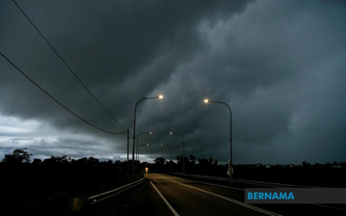
The Malaysian Meteorological Department has cast a wide net of severe weather alerts across the nation, cautioning residents in multiple states to prepare for potentially dangerous atmospheric conditions through the evening hours. The warning encompasses Melaka in its entirety along with significant portions of Peninsular Malaysia's east coast and southern regions, while simultaneously extending across state borders to cover vulnerable zones in both Sarawak and Sabah. The combination of thunderstorms, torrential downpours, and gusty winds presents a multifaceted meteorological challenge that warrants public vigilance and preparedness.
On the peninsula's east coast, Terengganu faces particular exposure, with the entire stretch from the coastal towns of Setiu and Kuala Nerus through to the interior districts of Hulu Terengganu presenting an elevated risk profile. The alert embraces the state capital Kuala Terengganu alongside the maritime district of Marang, the central hub of Dungun, and the southernmost region of Kemaman, suggesting that the warning blankets the entire state. This geographic spread indicates a broad atmospheric disturbance rather than localized weather phenomena, which typically generates more sustained and impactful rainfall across larger areas. Pahang's participation in the warning, specifically its northeastern districts of Jerantut and Bera, reinforces the extent of the system's penetration inland from the coast.
The southern corridor of Peninsular Malaysia is similarly ensnared within the warning zone. Negeri Sembilan's districts of Jempol and Tampin face the brunt of expected weather deterioration, while Johor—Malaysia's southernmost state—contends with exposure across six separate administrative zones. The span from Tangkak in the north through Segamat, the port city of Muar, the industrial centre of Batu Pahat, and extending south through Kluang and Pontian suggests that Johor's entire western and central belt remains vulnerable. The inclusion of Melaka, positioned between these regions, completes a coherent band of risk that cuts across three states and encompasses both rural and densely populated urban centres.
Beyond the peninsula, Sarawak's involvement signals that weather systems have reached across the South China Sea with sufficient intensity to threaten East Malaysia's western division. Sarikei and Sibu represent the populated heartland of the state's central zone, while the maritime district of Limbang protrudes into the northeast. The Song district within Kapit Division, traditionally one of Sarawak's more remote interior regions, rounds out the peninsula-facing tier of the warning. The Betong Division's participation—specifically Pusa, Saratok, and Kabong—expands coverage into Sarawak's southwestern reaches, indicating a system of considerable geographic breadth that extends across multiple climate zones and topographical features.
Sabah's threatened regions span from the interior to coastal areas, demonstrating how the weather system affects diverse geographical settings. Sipitang in the Interior Division lies inland, while Sandakan on the northeast coast represents a major population centre and commercial hub. The Tawau Division's inclusion of multiple districts—Tawau itself, Kunak, and Lahad Datu—means that Sabah's entire southeastern flank faces heightened risk. This distribution pattern across both peninsular and East Malaysian states reflects an unusual meteorological situation where a single atmospheric system commands sufficient strength and spatial extent to threaten multiple states simultaneously across hundreds of kilometres.
The specific combination of hazards—thunderstorms paired with heavy rainfall and strong winds—creates a compound threat scenario that demands particular attention from public safety authorities. Thunderstorms can spawn sudden localized flooding, wind damage to structures and vegetation, and occasional lightning strikes that pose electrocution risks. When layered atop heavy rainfall warnings, the potential for flash flooding and water-related incidents multiplies significantly. Strong winds may topple trees, damage electrical infrastructure, and compromise structural integrity of less robust buildings. For communities in flood-prone areas, whether in peninsular low-lying zones or river-adjacent settlements in East Malaysia, the convergence of these three hazards represents a genuine emergency situation.
The midnight deadline establishes a defined duration for the alert, suggesting meteorologists anticipate the system's passage or weakening by that time. This temporal specificity allows residents and authorities to calibrate response measures with reasonable confidence about the threat window. Emergency services can marshal resources accordingly, knowing that peak risk hours cluster within a defined timeframe. The Malaysian Meteorological Department's decision to issue this broad-based alert reflects a data-driven assessment that prevailing atmospheric conditions—whether driven by monsoon influences, localized convection, or larger-scale weather systems—warrant public notification.
For Malaysian readers and Southeast Asian observers, such weather alerts underscore the region's vulnerability to seasonal atmospheric volatility. The monsoon systems and tropical convection patterns that dominate this zone continue to generate significant operational and safety challenges for infrastructure, agriculture, and daily life. Alert fatigue can paradoxically reduce public response effectiveness if warnings prove overly frequent relative to actual severe impacts. However, given the geographic sweep of this particular warning and its simultaneous coverage of multiple high-population areas, the alert represents a serious meteorological situation demanding appropriate attention and precautionary action from citizens and authorities alike throughout the affected zones.

